İkizdere is the largest and southernmost district of Rize Province in Turkey. Thanks to its steep slopes, glacial lakes, lush highlands and endemic plant species, İkizdere is one of the top areas with tourism potential in the Eastern Black Sea Region.
Highlands of Çağrankaya

It is 25 km from the district center of İkizdere and 42 km from the provincial center of Rize. Therefore, it is one of the closest highlands to the city center. Transportation is usually provided through İkizdere, but you can reach Çağrankaya from the city center by a winding road. Those who want to use this route should follow the Çaykent-Muradiye-Küçükçayır road and turn left (east) when they see the Andon Drinking Water Facilities. The other road leads to the place known as Andon Hot Springs.
Çağrankaya is divided into three highlands within itself. The average heights of these highlands are around 2300 to 2500 meters.
Çağrankaya is considered one of the largest and most crowded highlands in the region. The section known as the “Büyük Yayla” looks more like a town than a highland. On the other hand, Highlands of Çağrankaya is quite satisfying in terms of visual aesthetics. Steep slopes and picturesque landscapes create unmissable opportunities for nature photographers. You can also come across black obsidian, an igneous rock type, in the region.
Tree species such as dwarf juniper, bearded alder, eastern spruce and eastern beech are widespread in the relatively low areas around the highland. In the higher parts of the highland, short grass and alpine meadows are common.
Çağrankaya and its surroundings were very important for the Greeks, Turks and Laz people living on the coast, and the Armenians and Hemshin people living in the mountainous regions during the Ottoman Empire. Trade routes between the coast and the interior used to pass through this region. The high plains of Çağrankaya were one of the important resting areas for traders and pack animals. However, there are no remains of the makeshift structures built for accommodation in the region.
Highland of Petran and Lazboard Festivals
It is 25 km from the district center of İkizdere and 65 km from the city center of Rize. Its height is about 1940 meters. You can reach the highand by a scenic and winding road next to Meles Creek.
Petran is famous for its annual ski festivals. Due to the ski festivals called Lazboard or Petranboard, many domestic and foreign tourists come to the region. The documentary “Foothills: The Unlinked Heritage of Snowboarding” made in 2016 about petranboard, considered the ancestor of snowboarding, helped promote the region.
Researchers believe that the history of Petranboard dates back to the seventeenth century.1
Highland of Anzer and Anzer Honey

It is 34 km from the district center of İkizdere and 75 km from the city center of Rize. Height of Anzer is about 2150 meters. It takes about 1 hour by car from Petran. It is located on a valley along İkizdere Creek.
Anzer is one of the most populated highlands in the region. Structures are usually built with materials such as stone, brick and briquettes. Roofs are covered with sheet metal. Most of the houses are single-storey, some are two-storey, and a few are three-storey. It is already understood that unauthorized construction will create problems in the long run.
Anzer is also an important ecotourism area thanks to its flora and unique natural beauties. Anzer honey is considered very valuable worldwide due to the endemic plants in the region. Nettle, myosotis, astragalus, geranium, lathyrus, ragweed, lily, dactylorhiza and thalictrum are some flower species that grow in Anzer.
Highland of Ovit

It is 33 km from the district center of İkizdere and 73 km from the city center of Rize. Its height is about 2600 meters.
Ovit is one of the easiest highlands to reach by vehicle as it is located around the Rize-İspir Road, unless of course the roads are closed due to heavy snow.
This road used to hinder the transportation between Rize and İspir. Because it is usually closed in winter. However, this problem was eliminated when the 14 km long Ovit Tunnel was put into service in 2017.
The temperate climate is dominant at the entrance of the Ovit Tunnel, and the continental climate is dominant at the exit.
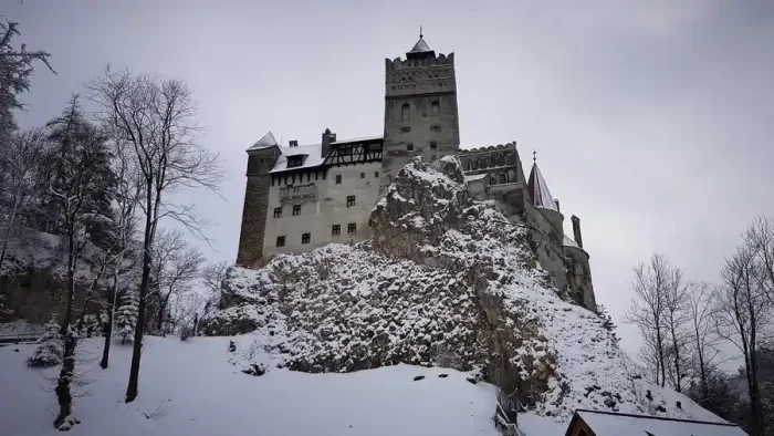
The old road, which was very busy before the Ovit Tunnel was opened, lost its function with the opening of the tunnel. As the road resembles a gothic horror movie with its foggy atmosphere, you may feel as if you will encounter Dracula’s castle at any moment. Today, the old road, which is surrounded by steep cliffs, is only used for transhumance, tourism and nostalgia. The most dangerous part is known as Devil Rocks, as the name suggests.
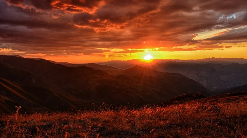
When you see the mountains and steep slopes surrounding Ovit, you will probably feel a sense of shudder and admiration at the same time. There are many large and small lakes on those mountains. Glacial lakes known as Yedigöller are 8 km from Ovit by air. However, those who want to see those lakes should use the road passing through Mor Yayla, 27 kilometers away.
- “Not That Rad, Snowboarding is Older Than You Think”, John FRY, Ski, March-April 2010, ISSN: 0037-6159[↩]